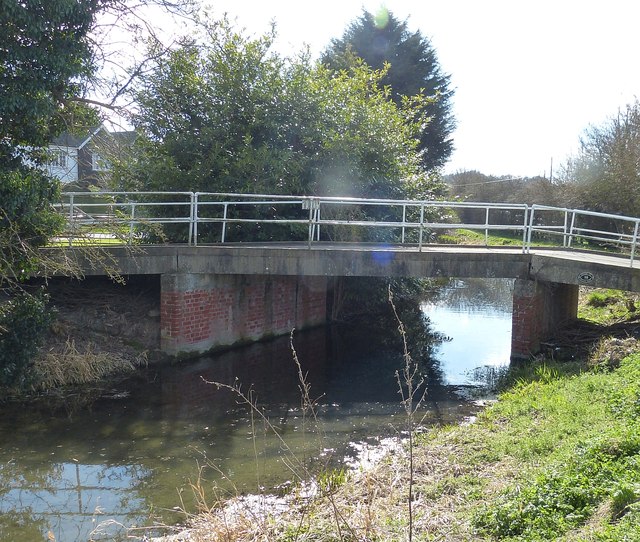
Accommodation bridge at Bucklandwharf
Introduction
The photograph on this page of Accommodation bridge at Bucklandwharf by Rob Farrow as part of the Geograph project.
The Geograph project started in 2005 with the aim of publishing, organising and preserving representative images for every square kilometre of Great Britain, Ireland and the Isle of Man.
There are currently over 7.5m images from over 14,400 individuals and you can help contribute to the project by visiting https://www.geograph.org.uk

Image: © Rob Farrow Taken: 22 Mar 2015
This little bridge allows access from Buckland Road to a small row of houses on the eastern side of the canal at Bucklandwharf. The canal is the Wendover arm of the Grand Union Canal and has been closed to canal traffic since 1897, though there are plans to re-open it. If they do, this bridge (which post-dates the closure) will have either to be raised, or else replaced by a swing- or lift-bridge. This bridge is numbered 5B as it is the second of two bridges which have been inserted between Bridge 5 Image] and Bridge 6 just beyond this bridge at Bucklandwharf which carries the Roman Akeman Street - the former A41, now declassified - over the canal. The other bridge to have been inserted is the more recent Image] which is Bridge 5A, an appellation which would formerly have been given to this accommodation bridge.
Image Location


