Benchmark on derelict building in Muxton Lane
Introduction
The photograph on this page of Benchmark on derelict building in Muxton Lane by pork pie hats as part of the Geograph project.
The Geograph project started in 2005 with the aim of publishing, organising and preserving representative images for every square kilometre of Great Britain, Ireland and the Isle of Man.

There are currently over 7.5m images from over 14,400 individuals and you can help contribute to the project by visiting https://www.geograph.org.uk
Benchmark on derelict building in Muxton Lane
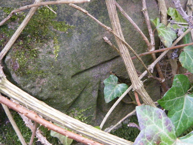
Image: © pork pie hats Taken: 22 Mar 2015
This benchmark (height 97.542 metres) can be found at the west angle of the derelict building which is now part of the Shropshire Golf Centre.
Images are licensed for reuse under creativecommons.org/licenses/by-sa/2.0
Image Location
Latitude
52.717001
Longitude
-2.411207