Westfield Farm near Hillesden
Introduction
The photograph on this page of Westfield Farm near Hillesden by Andy Gryce as part of the Geograph project.
The Geograph project started in 2005 with the aim of publishing, organising and preserving representative images for every square kilometre of Great Britain, Ireland and the Isle of Man.

There are currently over 7.5m images from over 14,400 individuals and you can help contribute to the project by visiting https://www.geograph.org.uk
Westfield Farm near Hillesden
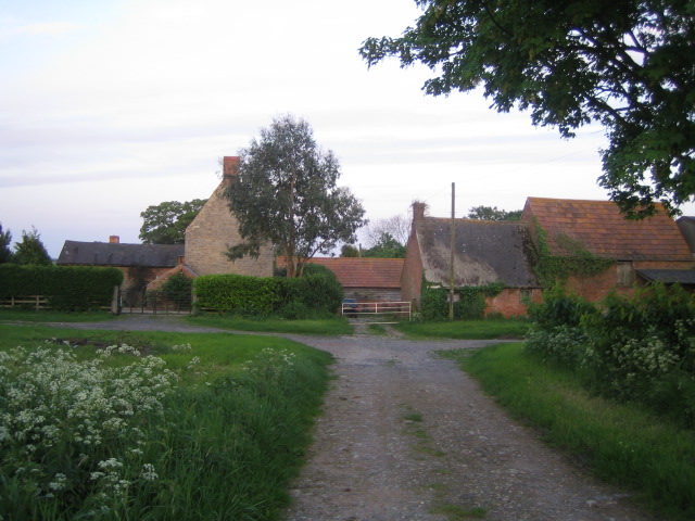
Image: © Andy Gryce Taken: 19 May 2007
Westfield Farm lies a third of the way down a no-through-road that runs east off the C road between Buckingham in the north and Edgcott in the south. Off camera, the road then skirts round the farm buildings to the right and continues east down to Manor Farm, from where a footpath goes to Hillesden. There is a photo in the English Heritage records from sometime in the period 1896 to 1920 of a lady standing at the gateway of the farmhouse with her chickens http://viewfinder.english-heritage.org.uk/search/reference.asp?index=985&imageUID=84931&main_query=&theme=&period=&county=&district=&place_name=Ham
Images are licensed for reuse under creativecommons.org/licenses/by-sa/2.0
Image Location
Latitude
51.94997
Longitude
-1.025682