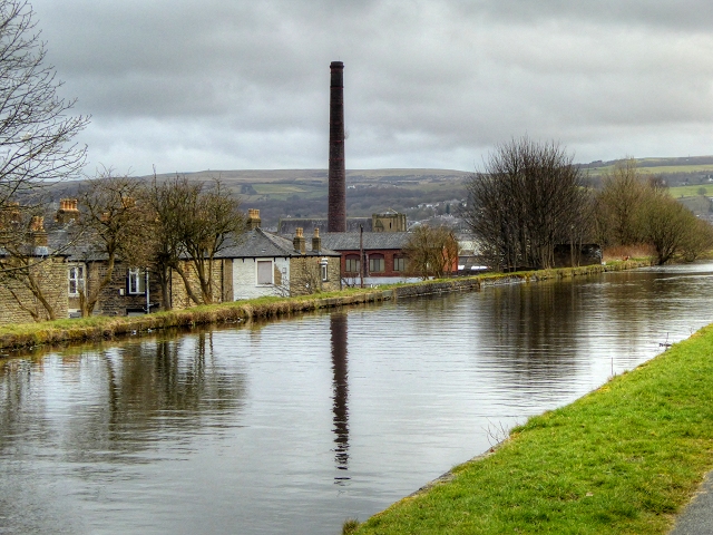
Burnley Embankment, Leeds and Liverpool Canal
Introduction
The photograph on this page of Burnley Embankment, Leeds and Liverpool Canal by David Dixon as part of the Geograph project.
The Geograph project started in 2005 with the aim of publishing, organising and preserving representative images for every square kilometre of Great Britain, Ireland and the Isle of Man.
There are currently over 7.5m images from over 14,400 individuals and you can help contribute to the project by visiting https://www.geograph.org.uk

Image: © David Dixon Taken: 20 Mar 2015
The Burnley Embankment, known locally as "The Straight Mile", carries The Leeds and Liverpool Canal 60ft above the town. When the canal was being built here at the end of the eighteenth century, Robert Whitworth, the Leeds and Liverpool Canal Company Engineer decided that an embankment, almost a mile long and up to sixty feet high, straight to the opposite hillside should be built rather than having the canal take a long detour following the contours around the valley, Although it was costly to construct, it meant the valley could be traversed by the canal without the need for two systems of locks. Walking along the 60 feet high embankment gives dramatic views across the rooftops of the town to the surrounding hills.

