Public footpath from Ember Lane to Anderby
Introduction
The photograph on this page of Public footpath from Ember Lane to Anderby by Chris as part of the Geograph project.
The Geograph project started in 2005 with the aim of publishing, organising and preserving representative images for every square kilometre of Great Britain, Ireland and the Isle of Man.

There are currently over 7.5m images from over 14,400 individuals and you can help contribute to the project by visiting https://www.geograph.org.uk
Public footpath from Ember Lane to Anderby
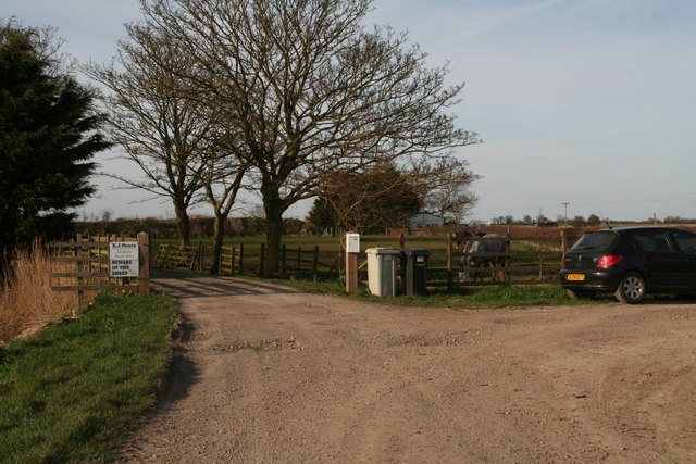
Image: © Chris Taken: 22 Mar 2015
But where is the path? It is supposed to run straight ahead from this point. Of the paths I have come upon today, all but three have been unmarked, blocked or obliterated. This is an area richly served with footpaths. However most of them are not signposted, and many are impossible to find or have been fenced over. I have complained about a path near here after a previous walk (or planned walk), only to be told it was a low priority path. I was not even given a date by which the problem would be fixed, and it still isn't.
Images are licensed for reuse under creativecommons.org/licenses/by-sa/2.0
Image Location
Latitude
53.244813
Longitude
0.302405