Path at southern edge of Rag Path Wood
Introduction
The photograph on this page of Path at southern edge of Rag Path Wood by Trevor Littlewood as part of the Geograph project.
The Geograph project started in 2005 with the aim of publishing, organising and preserving representative images for every square kilometre of Great Britain, Ireland and the Isle of Man.

There are currently over 7.5m images from over 14,400 individuals and you can help contribute to the project by visiting https://www.geograph.org.uk
Path at southern edge of Rag Path Wood
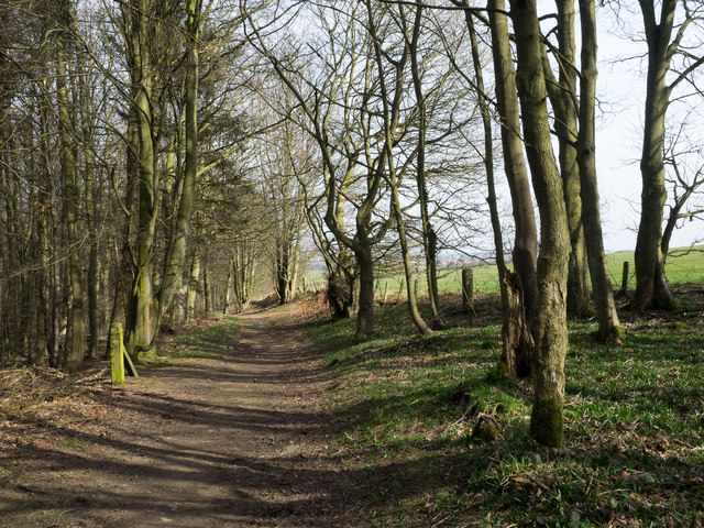
Image: © Trevor Littlewood Taken: 22 Mar 2015
Rag Path Wood is a narrow belt of woodland on the southern slope of the River Deerness; it's owned and/or managed by The Woodland Trust.
Images are licensed for reuse under creativecommons.org/licenses/by-sa/2.0
Image Location
Latitude
54.774027
Longitude
-1.680519