Basketball court
Introduction
The photograph on this page of Basketball court by DS Pugh as part of the Geograph project.
The Geograph project started in 2005 with the aim of publishing, organising and preserving representative images for every square kilometre of Great Britain, Ireland and the Isle of Man.

There are currently over 7.5m images from over 14,400 individuals and you can help contribute to the project by visiting https://www.geograph.org.uk
Basketball court
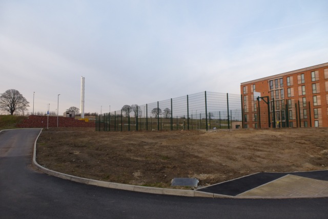
Image: © DS Pugh Taken: 22 Mar 2015
Situated between Langwith and Constantine colleges. Constantine B block is behind and the Heslington East boilerhouse on the left.
Images are licensed for reuse under creativecommons.org/licenses/by-sa/2.0
Image Location


Leaflet Map data © OpenStreetMap
Latitude
53.948908
Longitude
-1.026945