Risk of grounding sign on the approach to Llanion Crossing, Pembroke Dock
Introduction
The photograph on this page of Risk of grounding sign on the approach to Llanion Crossing, Pembroke Dock by Jaggery as part of the Geograph project.
The Geograph project started in 2005 with the aim of publishing, organising and preserving representative images for every square kilometre of Great Britain, Ireland and the Isle of Man.

There are currently over 7.5m images from over 14,400 individuals and you can help contribute to the project by visiting https://www.geograph.org.uk
Risk of grounding sign on the approach to Llanion Crossing, Pembroke Dock
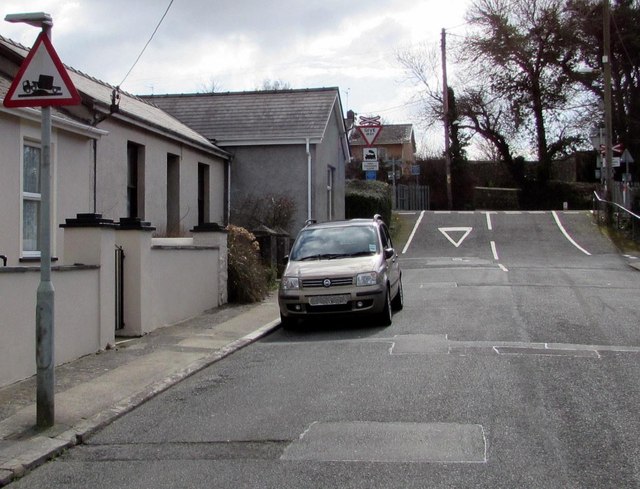
Image: © Jaggery Taken: 13 Mar 2015
Depicting an exaggerated mound beneath a grounded vehicle, the sign warns of the possibility of grounding on the level crossing http://www.geograph.org.uk/photo/4394917 ahead.
Images are licensed for reuse under creativecommons.org/licenses/by-sa/2.0
Image Location
Latitude
51.69313
Longitude
-4.929748