Muirton farm
Introduction
The photograph on this page of Muirton farm by James Allan as part of the Geograph project.
The Geograph project started in 2005 with the aim of publishing, organising and preserving representative images for every square kilometre of Great Britain, Ireland and the Isle of Man.

There are currently over 7.5m images from over 14,400 individuals and you can help contribute to the project by visiting https://www.geograph.org.uk
Muirton farm
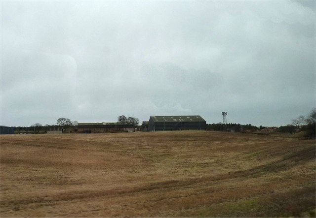
Image: © James Allan Taken: 9 Mar 2015
Farm buildings and an adjacent mobile phone mast near Cluny Clays.
Images are licensed for reuse under creativecommons.org/licenses/by-sa/2.0
Image Location


Leaflet Map data © OpenStreetMap
Latitude
56.14905
Longitude
-3.209904