East of Foston on the Wolds
Introduction
The photograph on this page of East of Foston on the Wolds by Paul Harrop as part of the Geograph project.
The Geograph project started in 2005 with the aim of publishing, organising and preserving representative images for every square kilometre of Great Britain, Ireland and the Isle of Man.

There are currently over 7.5m images from over 14,400 individuals and you can help contribute to the project by visiting https://www.geograph.org.uk
East of Foston on the Wolds
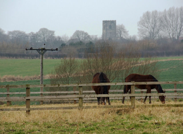
Image: © Paul Harrop Taken: 20 Mar 2015
Looking west from Foston Lane, with the tower of St Andrew's Church at Foston in the distance.
Images are licensed for reuse under creativecommons.org/licenses/by-sa/2.0
Image Location
Latitude
53.98594
Longitude
-0.306066