Beeston Transport Interchange
Introduction
The photograph on this page of Beeston Transport Interchange by Alan Murray-Rust as part of the Geograph project.
The Geograph project started in 2005 with the aim of publishing, organising and preserving representative images for every square kilometre of Great Britain, Ireland and the Isle of Man.

There are currently over 7.5m images from over 14,400 individuals and you can help contribute to the project by visiting https://www.geograph.org.uk
Beeston Transport Interchange
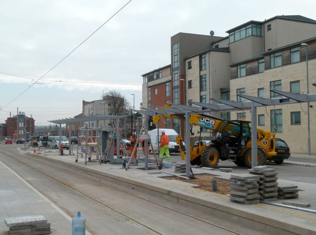
Image: © Alan Murray-Rust Taken: 20 Mar 2015
New shelter being erected on the Nottingham-bound platform. Trams will stop on this side and there are bus bays on the other side, providing easy connections.
Images are licensed for reuse under creativecommons.org/licenses/by-sa/2.0
Image Location
Latitude
52.925297
Longitude
-1.215013