Hanford: bridleway down from Hanford Hill
Introduction
The photograph on this page of Hanford: bridleway down from Hanford Hill by Chris Downer as part of the Geograph project.
The Geograph project started in 2005 with the aim of publishing, organising and preserving representative images for every square kilometre of Great Britain, Ireland and the Isle of Man.

There are currently over 7.5m images from over 14,400 individuals and you can help contribute to the project by visiting https://www.geograph.org.uk
Hanford: bridleway down from Hanford Hill
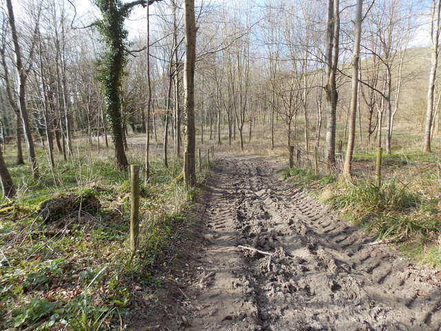
Image: © Chris Downer Taken: 21 Mar 2015
Thanks to recent dry weather, it is not as muddy underfoot as it looks - the mud here, while plentiful, has hardened somewhat and is only slightly springy except in the deepest spots.
Images are licensed for reuse under creativecommons.org/licenses/by-sa/2.0
Image Location
Latitude
50.904021
Longitude
-2.22223