Satnav warning
Introduction
The photograph on this page of Satnav warning by Oliver Dixon as part of the Geograph project.
The Geograph project started in 2005 with the aim of publishing, organising and preserving representative images for every square kilometre of Great Britain, Ireland and the Isle of Man.

There are currently over 7.5m images from over 14,400 individuals and you can help contribute to the project by visiting https://www.geograph.org.uk
Satnav warning
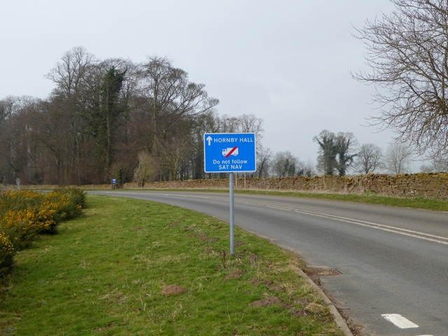
Image: © Oliver Dixon Taken: 18 Mar 2015
The former line of the A66 west of Temple Sowerby is now a cul de sac leading to Hornby Hall Country Guest House Image and other rural properties. If any lorry drivers are following this road for Penrith, they are presumably using a satnav system which has not been updated since the opening of the Temple Sowerby by-pass in 2007!
Images are licensed for reuse under creativecommons.org/licenses/by-sa/2.0
Image Location
Latitude
54.651047
Longitude
-2.628571