Track near Rookes
Introduction
The photograph on this page of Track near Rookes by Derek Harper as part of the Geograph project.
The Geograph project started in 2005 with the aim of publishing, organising and preserving representative images for every square kilometre of Great Britain, Ireland and the Isle of Man.

There are currently over 7.5m images from over 14,400 individuals and you can help contribute to the project by visiting https://www.geograph.org.uk
Track near Rookes
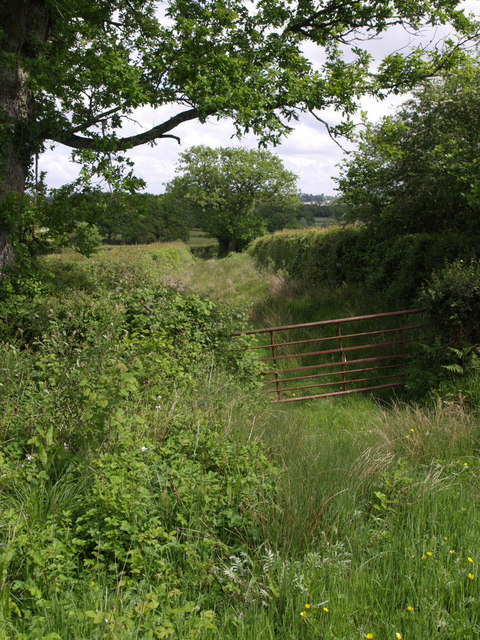
Image: © Derek Harper Taken: 20 May 2007
This pleasant-looking track sets off between hedges diagonally from the lane between Gribbleford Bridge and Hatherleigh, but is not a right of way, although it would appear to connect with Hatherleigh Footpath 9 at Hannaborough.
Images are licensed for reuse under creativecommons.org/licenses/by-sa/2.0
Image Location
Latitude
50.804108
Longitude
-4.085848