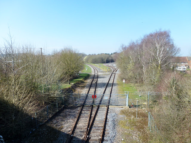
Military railway, Ludgershall
Introduction
The photograph on this page of Military railway, Ludgershall by Robin Webster as part of the Geograph project.
The Geograph project started in 2005 with the aim of publishing, organising and preserving representative images for every square kilometre of Great Britain, Ireland and the Isle of Man.
There are currently over 7.5m images from over 14,400 individuals and you can help contribute to the project by visiting https://www.geograph.org.uk

Image: © Robin Webster Taken: 20 Mar 2015
The entrance to the sidings at the military depot here. The rusty rails suggest little if any recent use. The gate is at or close to the limit of Network Rail property on the branch from Red Post Junction near Andover. Formerly the route to the right, now ending in sidings with end loading ramps, continued as the Midland and South Western Junction line to Cheltenham. The route to the left was a short branch to Tidworth. The first part of this now forms part of the depot rail network, the rest is abandoned.

