St. Asaph Bridge
Introduction
The photograph on this page of St. Asaph Bridge by G Laird as part of the Geograph project.
The Geograph project started in 2005 with the aim of publishing, organising and preserving representative images for every square kilometre of Great Britain, Ireland and the Isle of Man.

There are currently over 7.5m images from over 14,400 individuals and you can help contribute to the project by visiting https://www.geograph.org.uk
St. Asaph Bridge
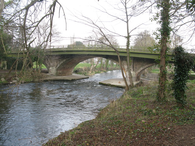
Image: © G Laird Taken: 18 Mar 2015
In the flood of the 27th November 2012, the River Elwy rose to within 4 inches of the top of this arch. One life was lost, 322 houses and 32 businesses were flooded.
Images are licensed for reuse under creativecommons.org/licenses/by-sa/2.0
Image Location
Latitude
53.256276
Longitude
-3.44752