Slaithwaite: Cop Hill End
Introduction
The photograph on this page of Slaithwaite: Cop Hill End by Dr Neil Clifton as part of the Geograph project.
The Geograph project started in 2005 with the aim of publishing, organising and preserving representative images for every square kilometre of Great Britain, Ireland and the Isle of Man.

There are currently over 7.5m images from over 14,400 individuals and you can help contribute to the project by visiting https://www.geograph.org.uk
Slaithwaite: Cop Hill End
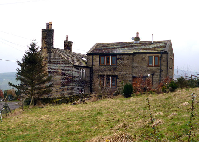
Image: © Dr Neil Clifton Taken: 16 Mar 2015
A long walk from the station or the bus route along the A62, but very handy for the 'Rose and Crown' where real ale is availale.
Images are licensed for reuse under creativecommons.org/licenses/by-sa/2.0
Image Location
Latitude
53.620797
Longitude
-1.910312