Blocked eastern end of Skinner Street, Newport
Introduction
The photograph on this page of Blocked eastern end of Skinner Street, Newport by Jaggery as part of the Geograph project.
The Geograph project started in 2005 with the aim of publishing, organising and preserving representative images for every square kilometre of Great Britain, Ireland and the Isle of Man.

There are currently over 7.5m images from over 14,400 individuals and you can help contribute to the project by visiting https://www.geograph.org.uk
Blocked eastern end of Skinner Street, Newport
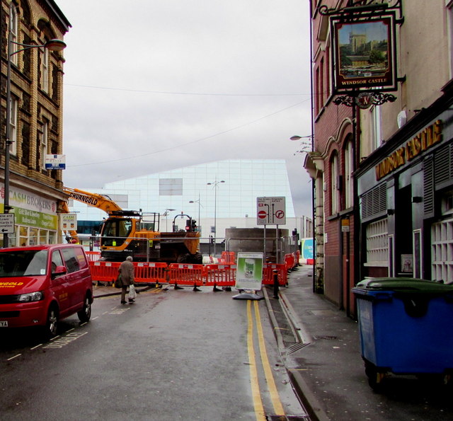
Image: © Jaggery Taken: 10 Jan 2015
Viewed in mid January 2015. This route from the city centre to the A4042 is blocked during roadworks, scheduled to last several weeks. Traffic is being diverted along a normally traffic-free part of Upper Dock Street.
Images are licensed for reuse under creativecommons.org/licenses/by-sa/2.0
Image Location
Latitude
51.588161
Longitude
-2.9949