Ripe for development - Christchurch Road, Boscombe (1)
Introduction
The photograph on this page of Ripe for development - Christchurch Road, Boscombe (1) by Mike Searle as part of the Geograph project.
The Geograph project started in 2005 with the aim of publishing, organising and preserving representative images for every square kilometre of Great Britain, Ireland and the Isle of Man.

There are currently over 7.5m images from over 14,400 individuals and you can help contribute to the project by visiting https://www.geograph.org.uk
Ripe for development - Christchurch Road, Boscombe (1)
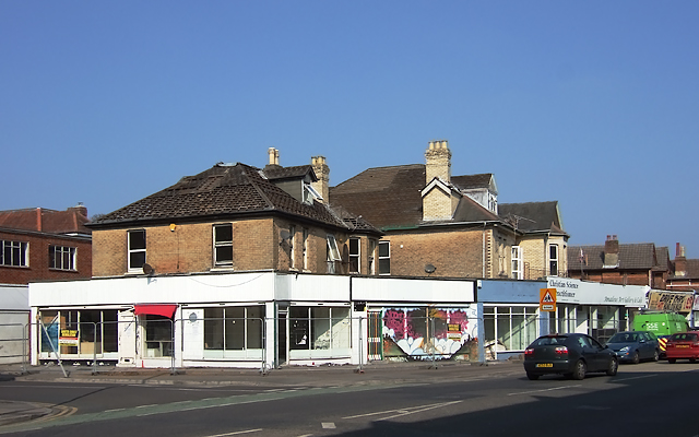
Image: © Mike Searle Taken: 18 Mar 2015
The entire block on the north side of Christchurch Road between Wolverton and Gloucester Road is being demolished in preparation for a new development. Compare this view with one taken 3 months later: Image
Images are licensed for reuse under creativecommons.org/licenses/by-sa/2.0
Image Location
Latitude
50.728579
Longitude
-1.832337