Bridleway to the A158
Introduction
The photograph on this page of Bridleway to the A158 by Jonathan Thacker as part of the Geograph project.
The Geograph project started in 2005 with the aim of publishing, organising and preserving representative images for every square kilometre of Great Britain, Ireland and the Isle of Man.

There are currently over 7.5m images from over 14,400 individuals and you can help contribute to the project by visiting https://www.geograph.org.uk
Bridleway to the A158
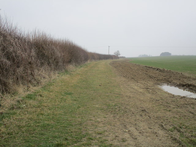
Image: © Jonathan Thacker Taken: 18 Mar 2015
Appears to have been part of a longer route running from the direction of the River Witham into the Lincolnshire Wolds. Much of this route is part of the public road system but this has only the status of a bridleway.
Images are licensed for reuse under creativecommons.org/licenses/by-sa/2.0
Image Location
Latitude
53.215181
Longitude
-0.16589