Track north of Cape Cornwall
Introduction
The photograph on this page of Track north of Cape Cornwall by Jonathan Hutchins as part of the Geograph project.
The Geograph project started in 2005 with the aim of publishing, organising and preserving representative images for every square kilometre of Great Britain, Ireland and the Isle of Man.

There are currently over 7.5m images from over 14,400 individuals and you can help contribute to the project by visiting https://www.geograph.org.uk
Track north of Cape Cornwall
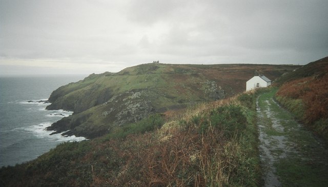
Image: © Jonathan Hutchins Taken: 30 Nov 2003
In the distance Kenidjack Castle sits on the hilltop above the zawns (= deep sea-inlets).
Images are licensed for reuse under creativecommons.org/licenses/by-sa/2.0
Image Location


Leaflet Map data © OpenStreetMap
Latitude
50.12892
Longitude
-5.701436