Brine well pipe chamber and dairy cattle
Introduction
The photograph on this page of Brine well pipe chamber and dairy cattle by Mike Harris as part of the Geograph project.
The Geograph project started in 2005 with the aim of publishing, organising and preserving representative images for every square kilometre of Great Britain, Ireland and the Isle of Man.

There are currently over 7.5m images from over 14,400 individuals and you can help contribute to the project by visiting https://www.geograph.org.uk
Brine well pipe chamber and dairy cattle
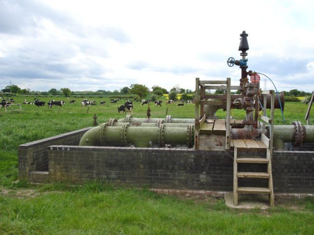
Image: © Mike Harris Taken: 7 May 2007
Brine well pipe chamber and dairy cattle from beside the footpath between Cooke's Lane and Birches Lane, Lach Dennis. This encapsulates the two main economic activities in the area - mixed farming (with plenty of dairy herds) and salt extraction by brine pumping to feed the Ineos (formerly ICI) chloralkali works at Lostock and Runcorn.
Images are licensed for reuse under creativecommons.org/licenses/by-sa/2.0
Image Location
Latitude
53.253312
Longitude
-2.457103