Dirty Signs
Introduction
The photograph on this page of Dirty Signs by Tony Atkin as part of the Geograph project.
The Geograph project started in 2005 with the aim of publishing, organising and preserving representative images for every square kilometre of Great Britain, Ireland and the Isle of Man.

There are currently over 7.5m images from over 14,400 individuals and you can help contribute to the project by visiting https://www.geograph.org.uk
Dirty Signs
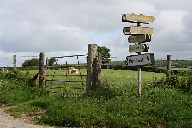
Image: © Tony Atkin Taken: 19 May 2007
It looks like someone has had a go at cleaning the lower one but the higher signs are barely readable through years of accumulated dirt.
Images are licensed for reuse under creativecommons.org/licenses/by-sa/2.0
Image Location
Latitude
50.550283
Longitude
-4.296961