Paternoster House, Winchester
Introduction
The photograph on this page of Paternoster House, Winchester by Jaggery as part of the Geograph project.
The Geograph project started in 2005 with the aim of publishing, organising and preserving representative images for every square kilometre of Great Britain, Ireland and the Isle of Man.

There are currently over 7.5m images from over 14,400 individuals and you can help contribute to the project by visiting https://www.geograph.org.uk
Paternoster House, Winchester
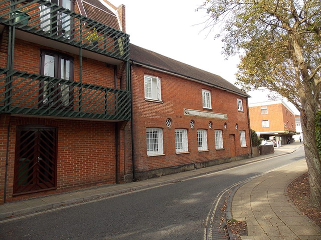
Image: © Jaggery Taken: 28 Sep 2014
Flats at a bend in Colebrook Street. It looks like the original Paternoster House on the right has had a modern extension built on the left.
Images are licensed for reuse under creativecommons.org/licenses/by-sa/2.0
Image Location
Latitude
51.060833
Longitude
-1.311874