Green and Holmside
Introduction
The photograph on this page of Green and Holmside by David Anstiss as part of the Geograph project.
The Geograph project started in 2005 with the aim of publishing, organising and preserving representative images for every square kilometre of Great Britain, Ireland and the Isle of Man.

There are currently over 7.5m images from over 14,400 individuals and you can help contribute to the project by visiting https://www.geograph.org.uk
Green and Holmside
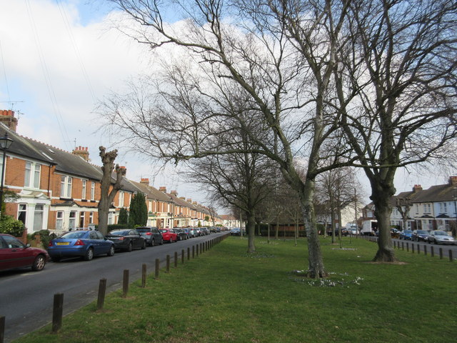
Image: © David Anstiss Taken: 14 Mar 2015
This road leads from the A2 Watling Street down to Seaton Road. The road is split by a large green area with trees in the middle. The houses and the green give it a very London-esque feel, especially as many of the houses have black and white tiled paths.
Images are licensed for reuse under creativecommons.org/licenses/by-sa/2.0
Image Location
Latitude
51.374099
Longitude
0.558497