Field Monitoring and Data Cabinet
Introduction
The photograph on this page of Field Monitoring and Data Cabinet by Martin Addison as part of the Geograph project.
The Geograph project started in 2005 with the aim of publishing, organising and preserving representative images for every square kilometre of Great Britain, Ireland and the Isle of Man.

There are currently over 7.5m images from over 14,400 individuals and you can help contribute to the project by visiting https://www.geograph.org.uk
Field Monitoring and Data Cabinet
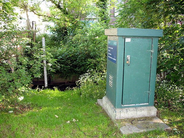
Image: © Martin Addison Taken: 20 May 2007
The Environment Agency is watching...A Hydrometry unit stands beside Mutton Brook, adjacent to Kingsley Way and the entrance to Lyttleton Playing Fields.
Images are licensed for reuse under creativecommons.org/licenses/by-sa/2.0
Image Location
Latitude
51.584929
Longitude
-0.18017