Road south to the B1248
Introduction
The photograph on this page of Road south to the B1248 by Martin Dawes as part of the Geograph project.
The Geograph project started in 2005 with the aim of publishing, organising and preserving representative images for every square kilometre of Great Britain, Ireland and the Isle of Man.

There are currently over 7.5m images from over 14,400 individuals and you can help contribute to the project by visiting https://www.geograph.org.uk
Road south to the B1248
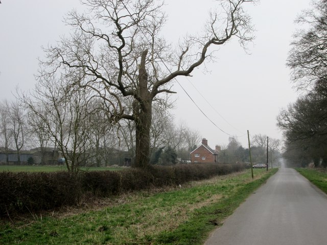
Image: © Martin Dawes Taken: 17 Mar 2015
Typical of the long straight roads on the Yorkshire Wolds.Grange Cottages and Lockington Grange Farm to the left.
Images are licensed for reuse under creativecommons.org/licenses/by-sa/2.0
Image Location
Latitude
53.903373
Longitude
-0.505464