River Frome watermeadows
Introduction
The photograph on this page of River Frome watermeadows by Graham Horn as part of the Geograph project.
The Geograph project started in 2005 with the aim of publishing, organising and preserving representative images for every square kilometre of Great Britain, Ireland and the Isle of Man.

There are currently over 7.5m images from over 14,400 individuals and you can help contribute to the project by visiting https://www.geograph.org.uk
River Frome watermeadows
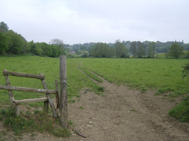
Image: © Graham Horn Taken: 3 May 2007
Looking north, the Macmillan Way runs across this meadow, with the River Frome to the right by the line of trees.
Images are licensed for reuse under creativecommons.org/licenses/by-sa/2.0
Image Location
Latitude
51.322456
Longitude
-2.289113