Vegetation partially hides a river bridge, Pencoed
Introduction
The photograph on this page of Vegetation partially hides a river bridge, Pencoed by Jaggery as part of the Geograph project.
The Geograph project started in 2005 with the aim of publishing, organising and preserving representative images for every square kilometre of Great Britain, Ireland and the Isle of Man.

There are currently over 7.5m images from over 14,400 individuals and you can help contribute to the project by visiting https://www.geograph.org.uk
Vegetation partially hides a river bridge, Pencoed
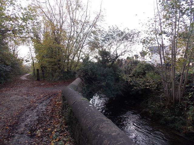
Image: © Jaggery Taken: 9 Nov 2014
SW of Penybont Road, the Ewenny River flows under a bridge carrying a path over the water.
Images are licensed for reuse under creativecommons.org/licenses/by-sa/2.0
Image Location


Leaflet Map data © OpenStreetMap
Latitude
51.526861
Longitude
-3.492913