Tuag at / Towards Caerau
Introduction
The photograph on this page of Tuag at / Towards Caerau by Alan Richards as part of the Geograph project.
The Geograph project started in 2005 with the aim of publishing, organising and preserving representative images for every square kilometre of Great Britain, Ireland and the Isle of Man.

There are currently over 7.5m images from over 14,400 individuals and you can help contribute to the project by visiting https://www.geograph.org.uk
Tuag at / Towards Caerau
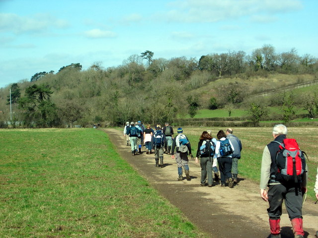
Image: © Alan Richards Taken: 15 Mar 2009
Cerddwyr yn dilyn llwybr cyhoeddus i gyfeiriad Caerau, sef enw ar fryngaer o'r Oes Haearn a leolir yn y coed yn y pellter. Walkers following a public path in the direction of Caerau (trans. forts), the name an Iron Age hillfort located in the woods in the distance.
Images are licensed for reuse under creativecommons.org/licenses/by-sa/2.0
Image Location
Latitude
51.464996
Longitude
-3.246591