B4576
Introduction
The photograph on this page of B4576 by Ian Capper as part of the Geograph project.
The Geograph project started in 2005 with the aim of publishing, organising and preserving representative images for every square kilometre of Great Britain, Ireland and the Isle of Man.

There are currently over 7.5m images from over 14,400 individuals and you can help contribute to the project by visiting https://www.geograph.org.uk
B4576
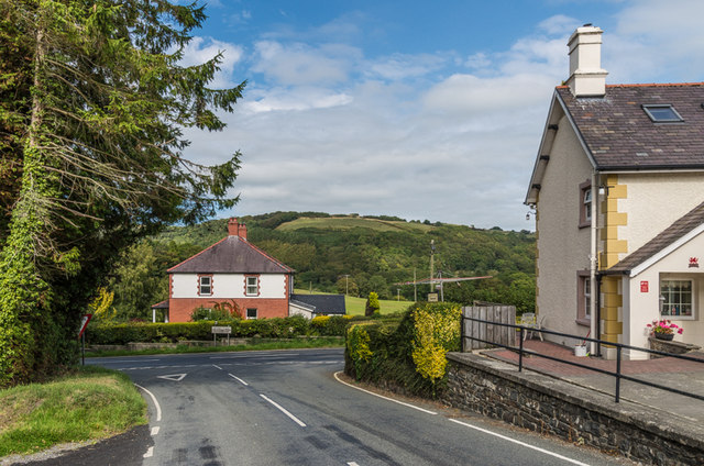
Image: © Ian Capper Taken: 6 Sep 2014
The B4576 as it approaches the A485 Tregaron to Aberystwyth road. The house in the background is Nantrhwydd and that on the right is Glanmad.
Images are licensed for reuse under creativecommons.org/licenses/by-sa/2.0
Image Location
Latitude
52.361657
Longitude
-4.057325