Pontypool Road railway station (site), Gwent
Introduction
The photograph on this page of Pontypool Road railway station (site), Gwent by Nigel Thompson as part of the Geograph project.
The Geograph project started in 2005 with the aim of publishing, organising and preserving representative images for every square kilometre of Great Britain, Ireland and the Isle of Man.

There are currently over 7.5m images from over 14,400 individuals and you can help contribute to the project by visiting https://www.geograph.org.uk
Pontypool Road railway station (site), Gwent
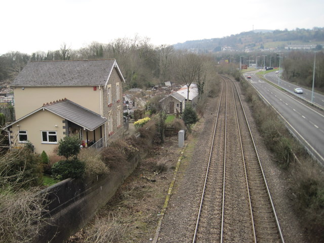
Image: © Nigel Thompson Taken: 14 Mar 2015
Opened in 1854 by the Newport Abergavenny and Hereford Railway, later part of the Great Western Railway, this station closed in 1909 when it was replaced by a larger facility of the same name, some 300m behind the camera position. That second station is still in business, but was later called Pontypool & New Inn - see Image View south towards Panteg and Newport. The original line turned right here via Pontypool Clarence Street - all later obliterated by roads.
Images are licensed for reuse under creativecommons.org/licenses/by-sa/2.0
Image Location
Latitude
51.695144
Longitude
-3.01779