Dewi Road
Introduction
The photograph on this page of Dewi Road by Ian Capper as part of the Geograph project.
The Geograph project started in 2005 with the aim of publishing, organising and preserving representative images for every square kilometre of Great Britain, Ireland and the Isle of Man.

There are currently over 7.5m images from over 14,400 individuals and you can help contribute to the project by visiting https://www.geograph.org.uk
Dewi Road
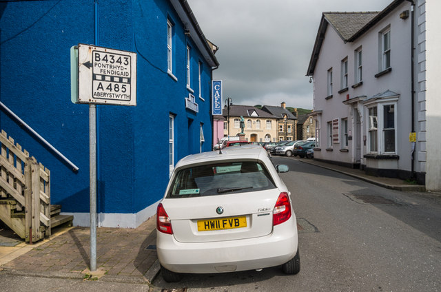
Image: © Ian Capper Taken: 6 Sep 2014
In the background is The Square, with the Memorial Hall (see Image) in the background. On the left is a pre-Worboys road sign, indicating that this is the B4343, leading to the A485 to Aberystwyth.
Images are licensed for reuse under creativecommons.org/licenses/by-sa/2.0
Image Location
Latitude
52.219331
Longitude
-3.933238