Demolition on Blundell Street
Introduction
The photograph on this page of Demolition on Blundell Street by Keith Edkins as part of the Geograph project.
The Geograph project started in 2005 with the aim of publishing, organising and preserving representative images for every square kilometre of Great Britain, Ireland and the Isle of Man.

There are currently over 7.5m images from over 14,400 individuals and you can help contribute to the project by visiting https://www.geograph.org.uk
Demolition on Blundell Street
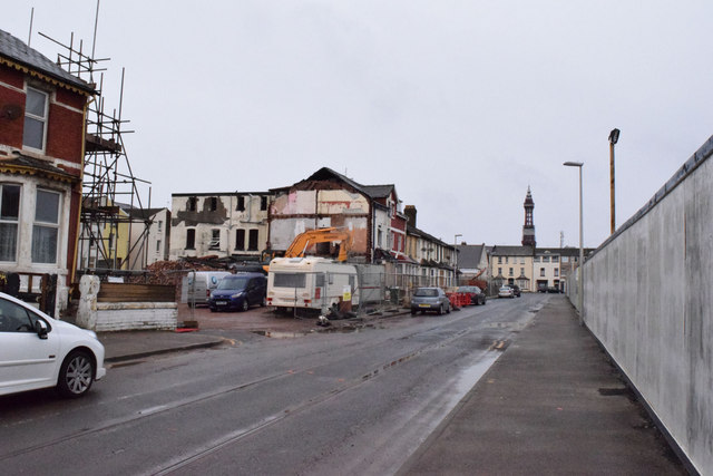
Image: © Keith Edkins Taken: 13 Mar 2015
Note that there are still tram tracks in the road, but this loop is no longer used and the overhead wires have been removed.
Images are licensed for reuse under creativecommons.org/licenses/by-sa/2.0
Image Location
Latitude
53.807921
Longitude
-3.053086