Jessel Green
Introduction
The photograph on this page of Jessel Green by Marathon as part of the Geograph project.
The Geograph project started in 2005 with the aim of publishing, organising and preserving representative images for every square kilometre of Great Britain, Ireland and the Isle of Man.

There are currently over 7.5m images from over 14,400 individuals and you can help contribute to the project by visiting https://www.geograph.org.uk
Jessel Green
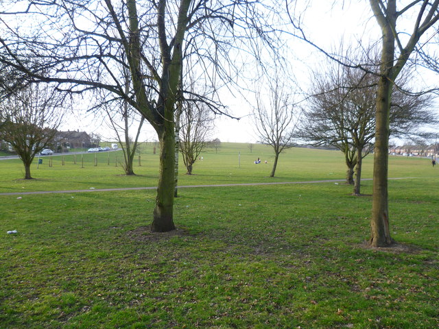
Image: © Marathon Taken: 13 Mar 2015
Debden takes its name from the ancient manor of Debden, which lay at its northern end around Debden Green. The Debden Estate was constructed between 1947 and 1952 by the London County Council after they bought 644 acres from John Maitland. The hilltop at Jessel Green is one of the highest points on the Debden Estate. Otherwise this open space is rather featureless.
Images are licensed for reuse under creativecommons.org/licenses/by-sa/2.0
Image Location
Latitude
51.655966
Longitude
0.084933