Unused farm track
Introduction
The photograph on this page of Unused farm track by Jonathan Hutchins as part of the Geograph project.
The Geograph project started in 2005 with the aim of publishing, organising and preserving representative images for every square kilometre of Great Britain, Ireland and the Isle of Man.

There are currently over 7.5m images from over 14,400 individuals and you can help contribute to the project by visiting https://www.geograph.org.uk
Unused farm track
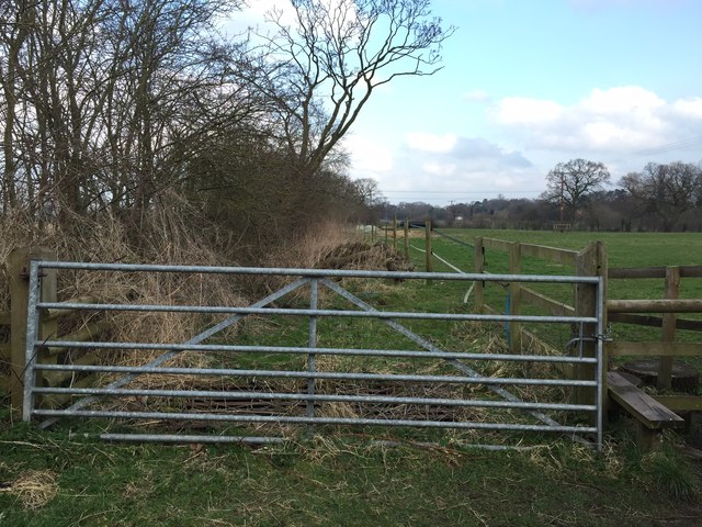
Image: © Jonathan Hutchins Taken: 15 Mar 2015
This track between fields is clearly visible on maps running SSE from the A51 Chester Road towards Nantwich. On the ground it is mostly choked with vegetation. Below and immediately behind this gate can be seen an overgrown cattle grid.
Images are licensed for reuse under creativecommons.org/licenses/by-sa/2.0
Image Location
Latitude
53.07522
Longitude
-2.52716