Llanddewi-Brefi
Introduction
The photograph on this page of Llanddewi-Brefi by Ian Capper as part of the Geograph project.
The Geograph project started in 2005 with the aim of publishing, organising and preserving representative images for every square kilometre of Great Britain, Ireland and the Isle of Man.

There are currently over 7.5m images from over 14,400 individuals and you can help contribute to the project by visiting https://www.geograph.org.uk
Llanddewi-Brefi
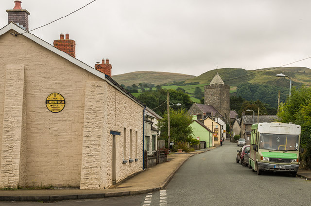
Image: © Ian Capper Taken: 6 Sep 2014
Village on the B4343. In the background is the eponymous St David's Church. For close up of the replica AA road sign on the left see Image
Images are licensed for reuse under creativecommons.org/licenses/by-sa/2.0
Image Location
Latitude
52.179375
Longitude
-3.958666