Marine Street railway bridge, Bermondsey: north end
Introduction
The photograph on this page of Marine Street railway bridge, Bermondsey: north end by Stephen Craven as part of the Geograph project.
The Geograph project started in 2005 with the aim of publishing, organising and preserving representative images for every square kilometre of Great Britain, Ireland and the Isle of Man.

There are currently over 7.5m images from over 14,400 individuals and you can help contribute to the project by visiting https://www.geograph.org.uk
Marine Street railway bridge, Bermondsey: north end
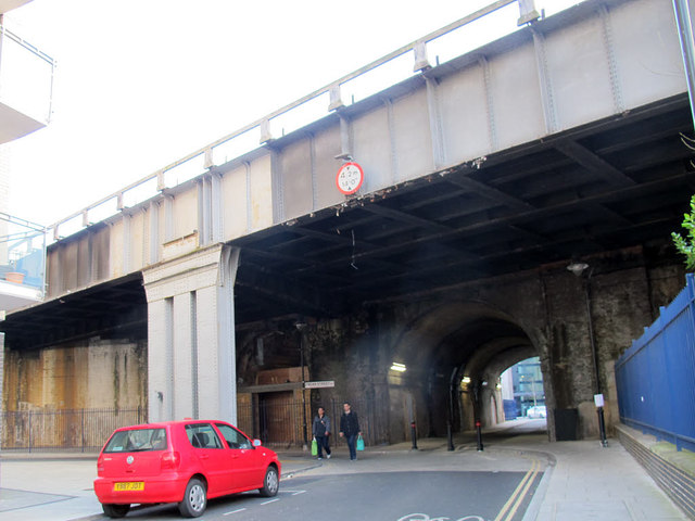
Image: © Stephen Craven Taken: 8 Mar 2015
This section of the former Rouel Road is now called Marine Street. One of several streets crossed by the original London and Greenwich railway viaduct (and its later widenings) - the total length (from the road users point of view) of this bridge is 50m, making it more of a road tunnel. The height restriction is 4.2 metres, but there are bollards restricting it in practice to cycle and pedestrian use. See Image for the opposite end.
Images are licensed for reuse under creativecommons.org/licenses/by-sa/2.0
Image Location
Latitude
51.496748
Longitude
-0.069871