Minting Priory earthworks
Introduction
The photograph on this page of Minting Priory earthworks by Richard Croft as part of the Geograph project.
The Geograph project started in 2005 with the aim of publishing, organising and preserving representative images for every square kilometre of Great Britain, Ireland and the Isle of Man.

There are currently over 7.5m images from over 14,400 individuals and you can help contribute to the project by visiting https://www.geograph.org.uk
Minting Priory earthworks
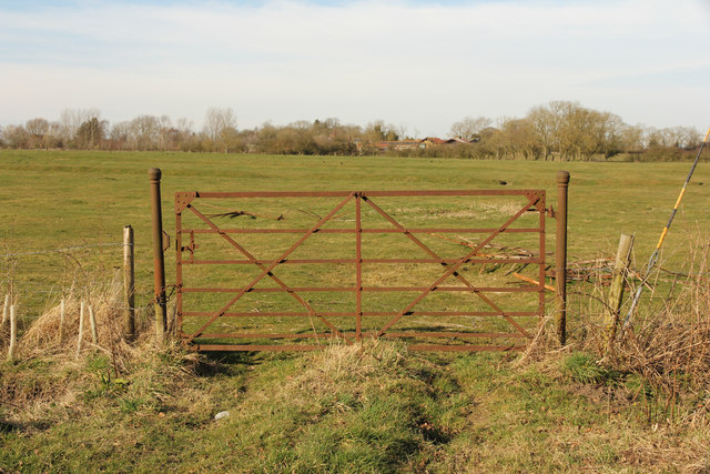
Image: © Richard Croft Taken: 7 Mar 2015
Earthworks in a field marking the site of Minting Priory, founded in 1129 by Ranulf, Earl of Chester for Benedictine monks, it was dissolved in 1414 and the site granted to the Carthusian priory of Mount Grace in 1421 and thereafter used a grange.
Images are licensed for reuse under creativecommons.org/licenses/by-sa/2.0
Image Location
Latitude
53.244402
Longitude
-0.225489