Rottal
Introduction
The photograph on this page of Rottal by Richard Webb as part of the Geograph project.
The Geograph project started in 2005 with the aim of publishing, organising and preserving representative images for every square kilometre of Great Britain, Ireland and the Isle of Man.

There are currently over 7.5m images from over 14,400 individuals and you can help contribute to the project by visiting https://www.geograph.org.uk
Rottal
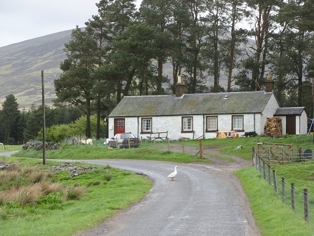
Image: © Richard Webb Taken: 19 May 2007
The road runs about 20 metres inside the square here. Geese have right of way of course.
Images are licensed for reuse under creativecommons.org/licenses/by-sa/2.0
Image Location
Latitude
56.815066
Longitude
-3.032588