Mark Royal House, Belfast (March 2015)
Introduction
The photograph on this page of Mark Royal House, Belfast (March 2015) by Albert Bridge as part of the Geograph project.
The Geograph project started in 2005 with the aim of publishing, organising and preserving representative images for every square kilometre of Great Britain, Ireland and the Isle of Man.

There are currently over 7.5m images from over 14,400 individuals and you can help contribute to the project by visiting https://www.geograph.org.uk
Mark Royal House, Belfast (March 2015)
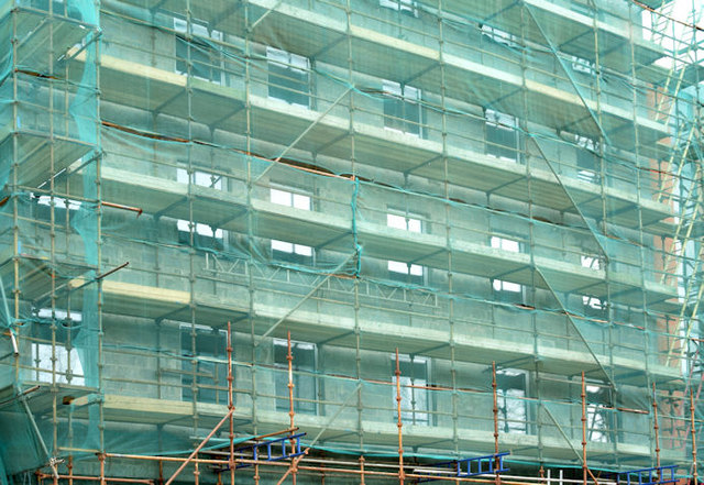
Image: © Albert Bridge Taken: 14 Mar 2015
The safety mesh does a good secondary job of hiding what’s happening. A close look shows that the original façade has gone and is being replaced by the new.
Images are licensed for reuse under creativecommons.org/licenses/by-sa/2.0
Image Location
Latitude
54.60289
Longitude
-5.929945