Norfolk Tower
Introduction
The photograph on this page of Norfolk Tower by John M as part of the Geograph project.
The Geograph project started in 2005 with the aim of publishing, organising and preserving representative images for every square kilometre of Great Britain, Ireland and the Isle of Man.

There are currently over 7.5m images from over 14,400 individuals and you can help contribute to the project by visiting https://www.geograph.org.uk
Norfolk Tower
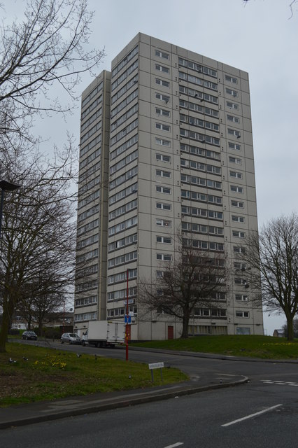
Image: © John M Taken: 14 Mar 2015
This eighteen storey tower block built in 1971 was earmarked for demolition with a further seven sub-standard blocks in 2011. The demolition was put out to tender in December 2014.
Images are licensed for reuse under creativecommons.org/licenses/by-sa/2.0
Image Location
Latitude
52.492763
Longitude
-1.918803