The Flying Boat, Pembroke Dock
Introduction
The photograph on this page of The Flying Boat, Pembroke Dock by Jaggery as part of the Geograph project.
The Geograph project started in 2005 with the aim of publishing, organising and preserving representative images for every square kilometre of Great Britain, Ireland and the Isle of Man.

There are currently over 7.5m images from over 14,400 individuals and you can help contribute to the project by visiting https://www.geograph.org.uk
The Flying Boat, Pembroke Dock
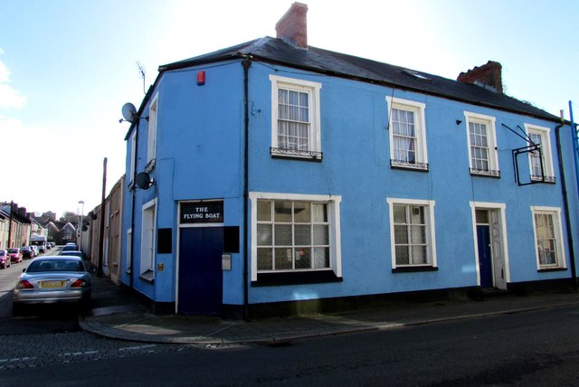
Image: © Jaggery Taken: 13 Mar 2015
Pub on the corner of Queen Street and Clarence Street, diagonally opposite the Swan Inn. http://www.geograph.org.uk/photo/4383401 There was a Royal Air Force base in Pembroke Dock for nearly 30 years. In 1943, when home to the Sunderland flying boats, it was the largest operational base for flying boats in the world. The Flying Boat heritage centre http://www.geograph.org.uk/photo/4383585 is nearby.
Images are licensed for reuse under creativecommons.org/licenses/by-sa/2.0
Image Location
Latitude
51.69387
Longitude
-4.946873