Path through Park Wood
Introduction
The photograph on this page of Path through Park Wood by Marathon as part of the Geograph project.
The Geograph project started in 2005 with the aim of publishing, organising and preserving representative images for every square kilometre of Great Britain, Ireland and the Isle of Man.

There are currently over 7.5m images from over 14,400 individuals and you can help contribute to the project by visiting https://www.geograph.org.uk
Path through Park Wood
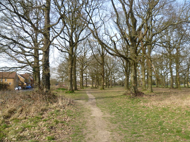
Image: © Marathon Taken: 12 Mar 2015
The small remnant of Park Wood has given its name to this southernmost suburb of Maidstone. Brishing Road is to the left here, close to the junction with Roman Way.
Images are licensed for reuse under creativecommons.org/licenses/by-sa/2.0
Image Location
Latitude
51.238523
Longitude
0.552112