Towards Pembroke from Pembroke Dock by rail
Introduction
The photograph on this page of Towards Pembroke from Pembroke Dock by rail by Jaggery as part of the Geograph project.
The Geograph project started in 2005 with the aim of publishing, organising and preserving representative images for every square kilometre of Great Britain, Ireland and the Isle of Man.

There are currently over 7.5m images from over 14,400 individuals and you can help contribute to the project by visiting https://www.geograph.org.uk
Towards Pembroke from Pembroke Dock by rail
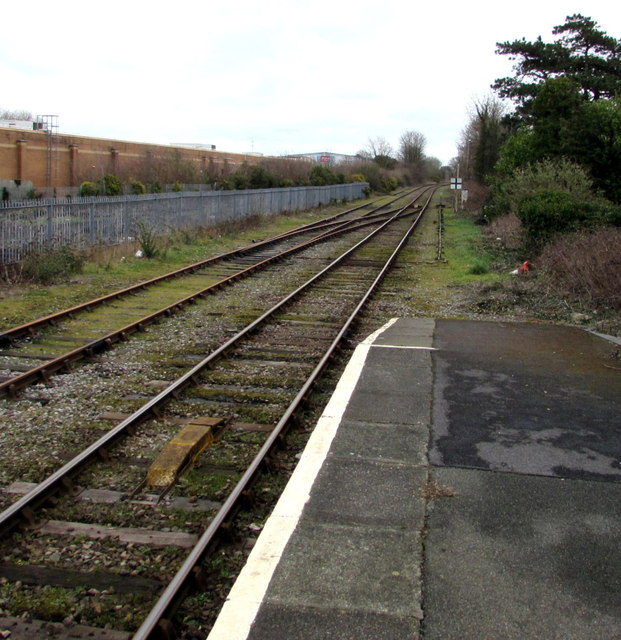
Image: © Jaggery Taken: 13 Mar 2015
Looking east from the terminus station at Pembroke Dock. Scheduled journey time to Pembroke station http://www.geograph.org.uk/photo/3650784 is 8 minutes. The route includes a 400 metres long tunnel.
Images are licensed for reuse under creativecommons.org/licenses/by-sa/2.0
Image Location
Latitude
51.693535
Longitude
-4.935129