Close up of the village sign at Chart Sutton
Introduction
The photograph on this page of Close up of the village sign at Chart Sutton by Marathon as part of the Geograph project.
The Geograph project started in 2005 with the aim of publishing, organising and preserving representative images for every square kilometre of Great Britain, Ireland and the Isle of Man.

There are currently over 7.5m images from over 14,400 individuals and you can help contribute to the project by visiting https://www.geograph.org.uk
Close up of the village sign at Chart Sutton
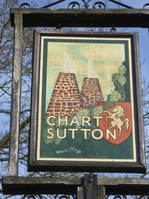
Image: © Marathon Taken: 12 Mar 2015
Oast houses, hops and the prancing horse of Kent all feature. For the setting of the village sign see http://www.geograph.org.uk/photo/4383295
Images are licensed for reuse under creativecommons.org/licenses/by-sa/2.0
Image Location
Latitude
51.223622
Longitude
0.571339