OS flush bracket - Winshill, Bleak House
Introduction
The photograph on this page of OS flush bracket - Winshill, Bleak House by Richard Law as part of the Geograph project.
The Geograph project started in 2005 with the aim of publishing, organising and preserving representative images for every square kilometre of Great Britain, Ireland and the Isle of Man.

There are currently over 7.5m images from over 14,400 individuals and you can help contribute to the project by visiting https://www.geograph.org.uk
OS flush bracket - Winshill, Bleak House
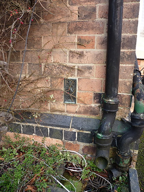
Image: © Richard Law Taken: 13 Mar 2015
OS flush bracket G3866 on the western gable end of the building known as Bleak House; originally levelled in 1956 at 121.875m above Ordnance Datum Newlyn.
Images are licensed for reuse under creativecommons.org/licenses/by-sa/2.0
Image Location
Latitude
52.801796
Longitude
-1.595028