Track on the edge of Chart Sutton
Introduction
The photograph on this page of Track on the edge of Chart Sutton by Marathon as part of the Geograph project.
The Geograph project started in 2005 with the aim of publishing, organising and preserving representative images for every square kilometre of Great Britain, Ireland and the Isle of Man.

There are currently over 7.5m images from over 14,400 individuals and you can help contribute to the project by visiting https://www.geograph.org.uk
Track on the edge of Chart Sutton
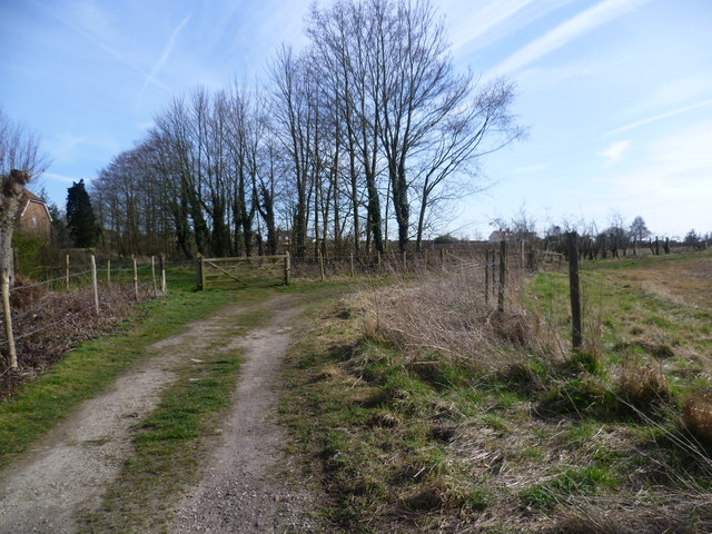
Image: © Marathon Taken: 12 Mar 2015
The track leads off Amber Lane but is not a public footpath and just services the fields beyond.
Images are licensed for reuse under creativecommons.org/licenses/by-sa/2.0
Image Location
Latitude
51.222796
Longitude
0.567999