Seaman's Green
Introduction
The photograph on this page of Seaman's Green by Dr Neil Clifton as part of the Geograph project.
The Geograph project started in 2005 with the aim of publishing, organising and preserving representative images for every square kilometre of Great Britain, Ireland and the Isle of Man.

There are currently over 7.5m images from over 14,400 individuals and you can help contribute to the project by visiting https://www.geograph.org.uk
Seaman's Green
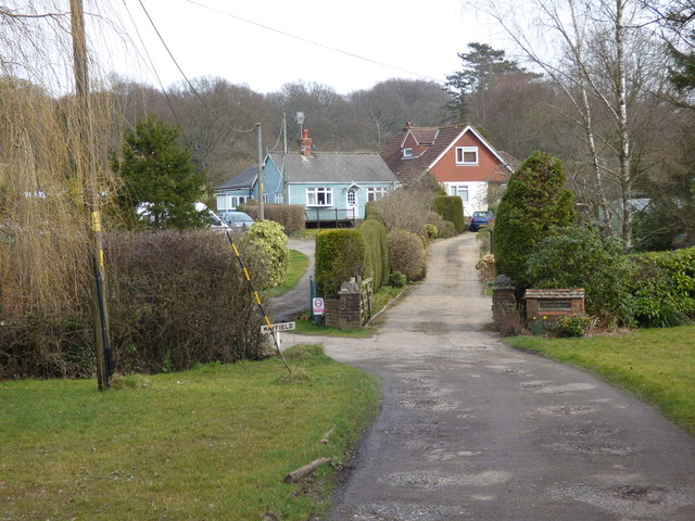
Image: © Dr Neil Clifton Taken: 13 Mar 2015
This short drive off the road gives access to several houses such as Mayfield, Collinwood, and Charwyl
Images are licensed for reuse under creativecommons.org/licenses/by-sa/2.0
Image Location
Latitude
51.163078
Longitude
-0.317963