Barham's Brook
Introduction
The photograph on this page of Barham's Brook by Derek Harper as part of the Geograph project.
The Geograph project started in 2005 with the aim of publishing, organising and preserving representative images for every square kilometre of Great Britain, Ireland and the Isle of Man.

There are currently over 7.5m images from over 14,400 individuals and you can help contribute to the project by visiting https://www.geograph.org.uk
Barham's Brook
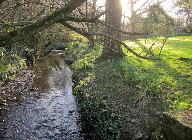
Image: © Derek Harper Taken: 8 Mar 2015
Looking up the stream from the lane past Holbeam Mill. The stream joins the River Lemon just a few metres behind the camera.
Images are licensed for reuse under creativecommons.org/licenses/by-sa/2.0
Image Location
Latitude
50.527067
Longitude
-3.650607